File:Rajneeshpuram 04.jpg: Difference between revisions
Jump to navigation
Jump to search
(Rudra uploaded a new version of File:Rajneeshpuram 04.jpg) |
No edit summary |
||
| Line 1: | Line 1: | ||
Lines in the map define boundaries of Oregon's various counties. None in this map are labeled or identified save Wasco Co(unty), where most of the Ranch was located. The rest of the Ranch spilled over into Jefferson County, to the south of Wasco. Its county seat (capital) is Madras, a much smaller town than many in Oregon which have been left out, but which is included in this map because of its relevance to the Ranch. | |||
Latest revision as of 04:04, 24 December 2020
Lines in the map define boundaries of Oregon's various counties. None in this map are labeled or identified save Wasco Co(unty), where most of the Ranch was located. The rest of the Ranch spilled over into Jefferson County, to the south of Wasco. Its county seat (capital) is Madras, a much smaller town than many in Oregon which have been left out, but which is included in this map because of its relevance to the Ranch.
File history
Click on a date/time to view the file as it appeared at that time.
| Date/Time | Thumbnail | Dimensions | User | Comment | |
|---|---|---|---|---|---|
| current | 00:31, 30 August 2016 | 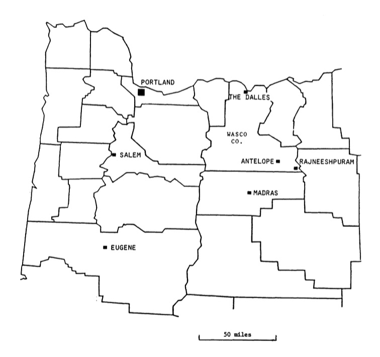 | 756 × 710 (58 KB) | Rudra (talk | contribs) |
You cannot overwrite this file.
File usage
The following 2 pages use this file:
Metadata
